Project Examples | Step-by-Step Career Guide | Real Life Examples
Geothermal Field Drone Surveyor
Combine geology and drone technology to harness clean and renewable energy sources
Geothermal energy is heat energy from the earth—Geo (earth) + thermal (heat). Geothermal resources are reservoirs of hot water that exist or are human made at varying temperatures and depths below the Earth’s surface.
Geothermal Field Surveyors are responsible for physically visiting geothermal sites and conducting on-site drone surveys. They deploy drones to capture data that complements ground-based observations, providing a comprehensive understanding of subsurface conditions. This role is essential in ensuring accurate site assessments and resource evaluation.
UAV Magnetics UNR Geothermal Energy Research
The target with the UAV magnetometry is to reveal buried fault and boundaries of different rock types that provide clues to where geothermal fluid pathways are located. A ground magnetics surveyor can hike 15-20 km per day on flat terrain. The drone based survey approach allows a two-person team to cover between 60-200 line-kilometers per day.

Archaeological Sites
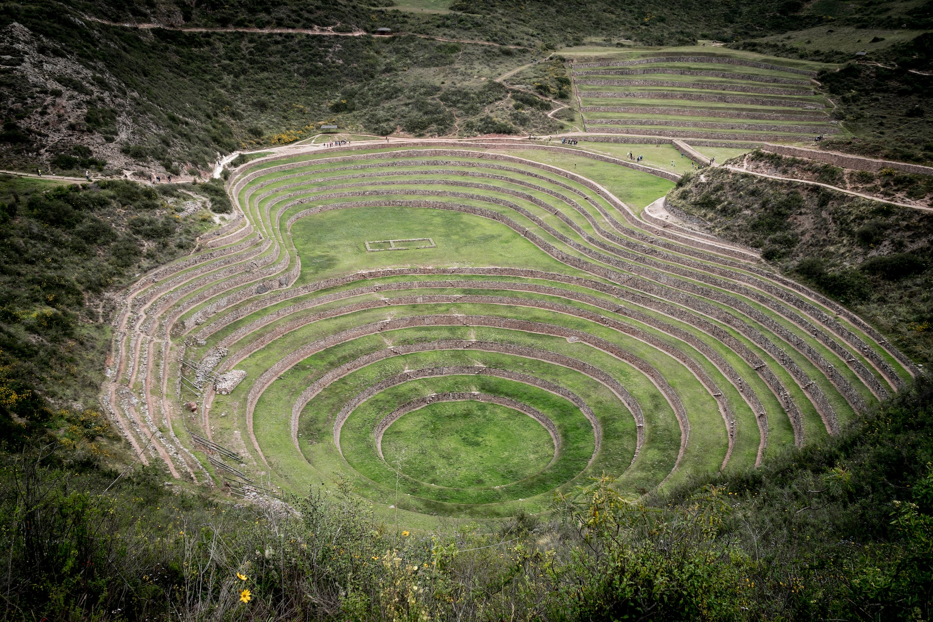
Drones are invaluable for surveying and documenting archaeological sites, such as ancient ruins, burial grounds, and historical dig sites. Aerial imagery and mapping assist archaeologists in uncovering historical artifacts and understanding the layout of past civilizations.

Historical Landscapes
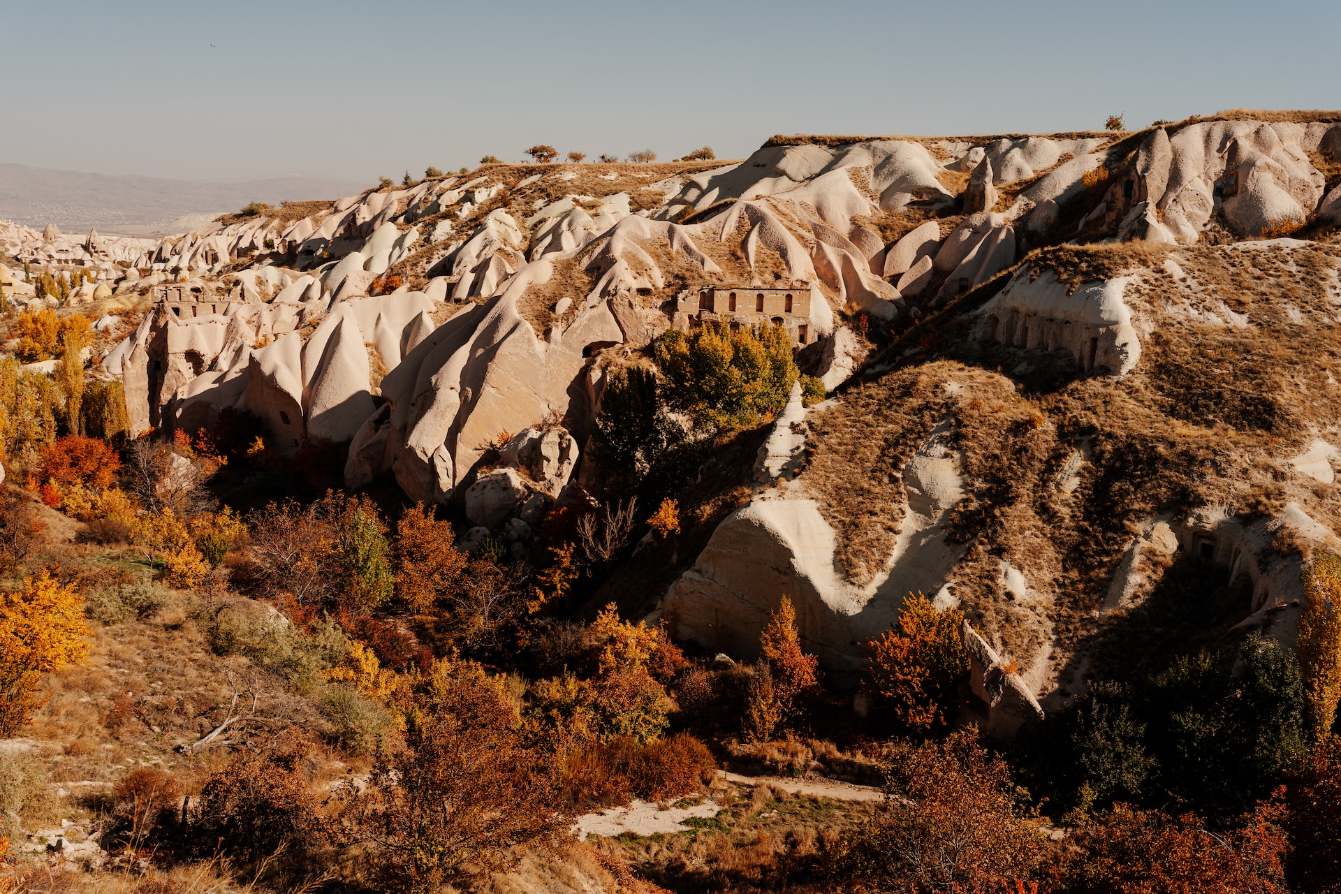
Preserving historical landscapes, such as gardens, parks, and battlefields, is another application. Drones help capture the evolution of these spaces, enabling conservationists to manage vegetation, monitor erosion, and recreate historical planting designs.
Real Life Examples
CyArk's Digital Preservation of Cultural Heritage
CyArk, a nonprofit organization, has used drones to digitally preserve cultural heritage sites worldwide. They collaborated with the Zamani Project to document the Al Azem Palace in Damascus, Syria, and the Bagan Archaeological Area in Myanmar. These digital archives provide critical data for restoration and research while safeguarding the heritage from potential destruction.
Scottish Ten Project
The Scottish Ten Project, conducted by Historic Environment Scotland and the Glasgow School of Art, employed laser scanning drones to document and preserve historical sites. They digitally captured sites such as Mount Rushmore in the United States and St. Kilda in Scotland, creating detailed 3D models for conservation and study.
Angkor Wat Conservation
In Cambodia, the Angkor Research Program used drones to survey and document the Angkor Wat temple complex. The data collected through drone technology helps with restoration efforts, understanding the site’s history, and monitoring its structural stability.
Lidar Scanning of Maya Sites
The PACUNAM Lidar Initiative in Guatemala, funded by the PACUNAM Foundation, employed Lidar-equipped drones to survey and map the dense Guatemalan jungle. This revealed the presence of thousands of ancient Maya structures and provided invaluable insights into their civilization.
Steps to Becoming a Historical Preservation Drone Specialist:
Step 1: Educational Foundation
- Pursue a bachelor’s or associate’s degree in Geology, Earth Sciences, or a related field to gain essential geological knowledge and research skills.
Step 2: Drone Pilot Training
- Acquire a Remote Pilot Certificate (Part 107) from the FAA, which is required to operate drones for commercial purposes. This certification ensures you understand aviation regulations and safety.
- Consider enrolling in drone pilot training programs to gain practical skills in operating drones, understanding flight dynamics, and conducting aerial surveys.
Step 3: Specialized Geothermal Training
- Seek specialized geothermal exploration training or coursework to understand the unique aspects of geothermal energy and geology.
- Familiarize yourself with the principles of heat transfer and geothermal resource assessment.
Step 4: Invest in Equipment
- Invest in high-quality drones equipped with advanced cameras and imaging technology capable of capturing detailed, high-resolution images. Also, consider software for 3D modeling and GIS.
Step 5: Gain Practical Experience
- Collaborate with geothermal energy companies, geologists, and environmental firms to gain practical experience in exploring geothermal sites.
- Learn to interpret geothermal data collected from drone surveys and analyze potential energy resources.
Step 6: Build a Portfolio
- Document your geothermal exploration projects and create a professional portfolio to showcase your skills and findings.
Step 7: Network and Connect
- Attend geothermal energy conferences and industry events to network with professionals and researchers in the field.
- Build connections with companies in the geothermal industry to stay updated on new opportunities.
Step 8: Seek Employment or Freelancing Opportunities
- Look for job opportunities with geothermal energy companies, environmental firms, or government agencies specializing in geothermal exploration.
- Consider freelancing as a geothermal exploration consultant, providing your expertise to different projects.
Step 9: Uphold Ethical and Legal Standards
- Ensure that your work adheres to ethical standards in historical preservation. Respect the historical and cultural significance of the sites you document.
- Stay compliant with all regulations and legal requirements when operating drones, including privacy and airspace laws.


