Class C Airspace
Requirements + Surface / Ceiling / Radius
Class C Airspace Surface / Ceiling / Radius
Class C airspace is like a tiered upside down layer cake. Class C typically consists of two concentric rings, or layers, that extend outward and upward, creating its two-tiered structure.
- The lower shelf, which is the inner core, extends vertically from the ground up to 1,200 feet AGL, and has a radius of 5 nautical miles.
- The outer shelf starts at 1,200 feet AGL and goes up to 4,000 feet AGL. It has a radius of 10 nautical miles.

Class B
Surface, Ceilings and Layers
Class B airspace is shaped like an upside-down wedding cake.
Class B starts at the surface near the airport and expands outward in layers as it goes higher.
This design protects large commercial aircraft as they approach and depart the nation’s busiest airports, giving them more room at higher altitudes while keeping the lower layers tightly controlled near the airport.
It is critical drone operators don’t enter Class B airspace without authorization because of how busy these airports are with manned aircraft.

Layer 1:
Layer 1 of Class B airspace is the innermost and lowest layer, shaped like a cylinder centered around the airport.
- It usually starts at the ground-level (0 feet AGL) and extends upwards until it reaches the second, middle layer (often up to 4,000-5,000 feet AGL) .
- This layer comprises the immediate airspace around the airport where aircraft are taking off and landing.

Layer 2:
Layer 2 of Class B airspace sits above and wider than Layer 1, forming the middle tier of the “upside-down wedding cake” shape.
- It starts above the top of Layer 1, and extends up to around 6,000 to 8,000 feet AGL, depending on the airport’s design.
- This layer spreads out farther horizontally to cover arriving and departing aircraft as they transition to or from cruising altitude.

Layer 3:
Layer 3 of Class B airspace is the outermost and highest layer, completing the “upside-down wedding cake” structure.
- It typically starts at the top of Layer 2 (often around 6,000 to 8,000 feet AGL) and extends up to 10,000 feet MSL, which is the upper limit of Class B airspace.
- This layer covers the widest area to manage aircraft that are entering or leaving the airport’s airspace from higher cruise altitudes.


Class B and C Indications on
Sectional Charts
Class C: Marked by Solid Magenta Lines
Class B: Marked by Solid Blue Lines
Class C on Sectional Charts: Solid Magenta Line
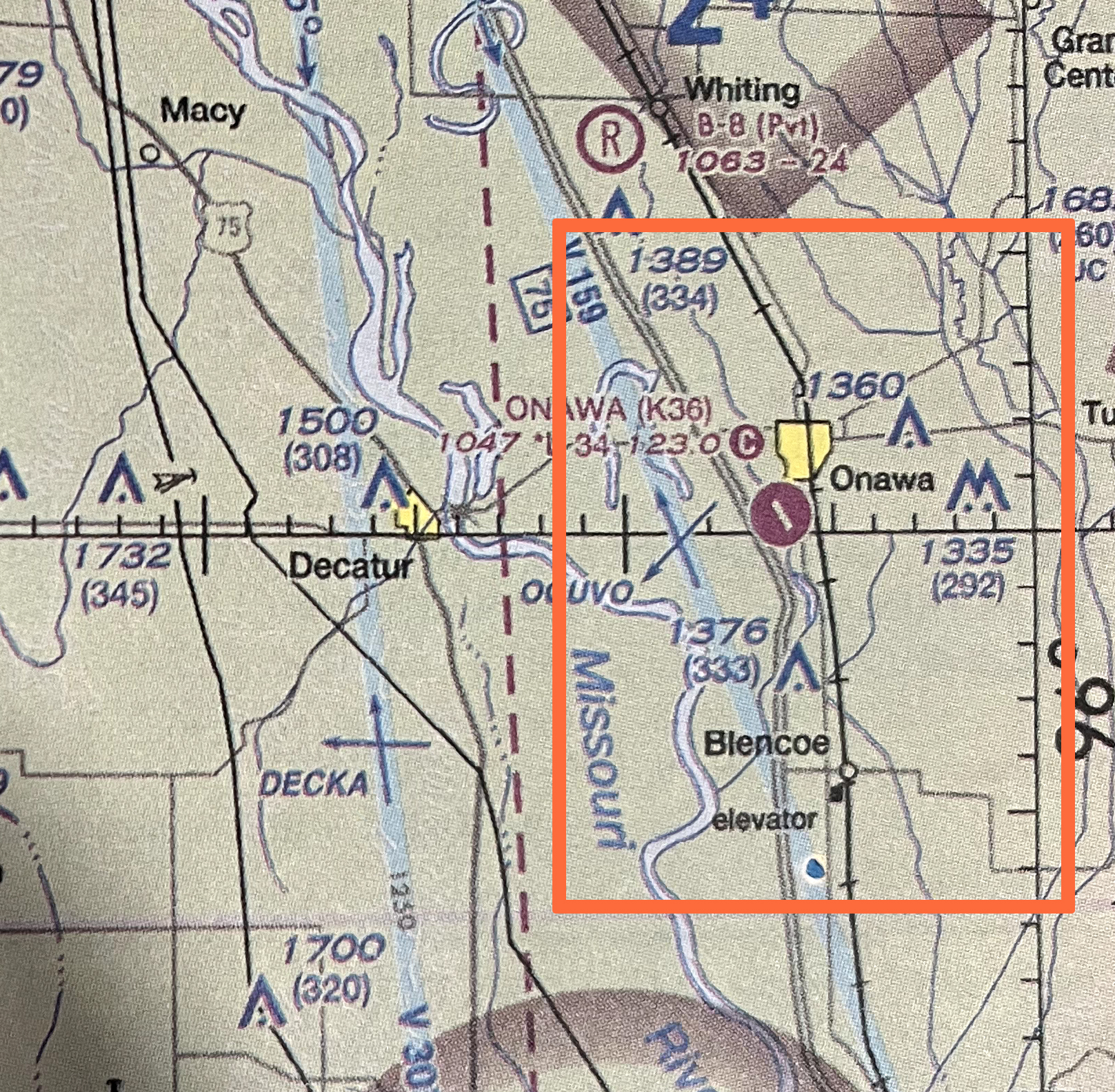
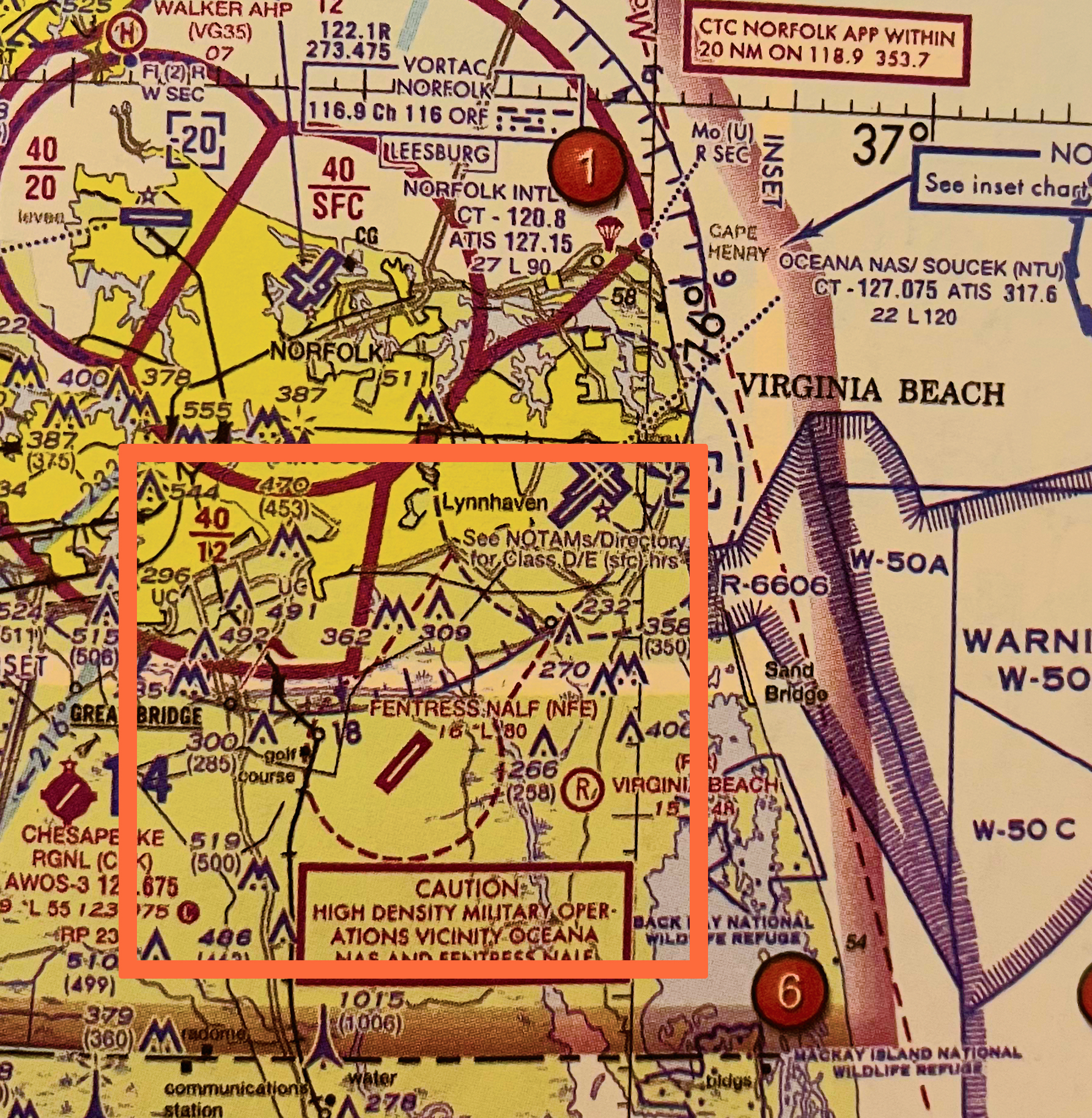
Class C airspace is depicted on sectional charts with a solid magenta line. It typically has a cylindrical shape around the airport, but the exact boundaries are tailored to the airport’s operational needs.
In the image below, Norfolk International Airport is identified as Class C airspace, marked by the solid magenta lines that encircle it.

Class B on Sectional Charts: Solid Blue Line
Class B airspace is depicted on sectional charts with a solid blue line. It typically has a cylindrical shape around the airport, but the exact boundaries are tailored to the airport’s operational needs.
In the image below, Dallas/Ft Worth International Airport (DFW) is identified as Class B airspace, marked by the solid blue lines that encircle it.